

Ahora estás siguiendo a
Error al seguir a usuario.
Este usuario no permite que los usuarios lo sigan.
Ya estás siguiendo a este usuario.
Tu plan de membresía solo permite 0 seguimientos. Mejora tu membresía aquí.
Dejaste de seguir correctamente a
Error al dejar de seguir al usuario.
Has recomendado exitosamente a
Error al recomendar al usuario.
Algo salió mal. Por favor, actualiza la página e intenta de nuevo.
Email verificado correctamente.

nairobi,
kenya
Aquí son las 3:41 a. m.
Se unió el septiembre 14, 2018
1
Recomendación
John E.
@JohnnieK
4,4
4,4
100%
100%
nairobi,
kenya
100 %
Trabajos finalizados
94 %
Dentro del presupuesto
86 %
A tiempo
8 %
Tasa de recontratación
Data Scientist - GIS, Python & Google Cloud Skills
Contacta John E. sobre tu trabajo
Inicia sesión para comentar cualquier detalle por chat.
Portafolio
Portafolio
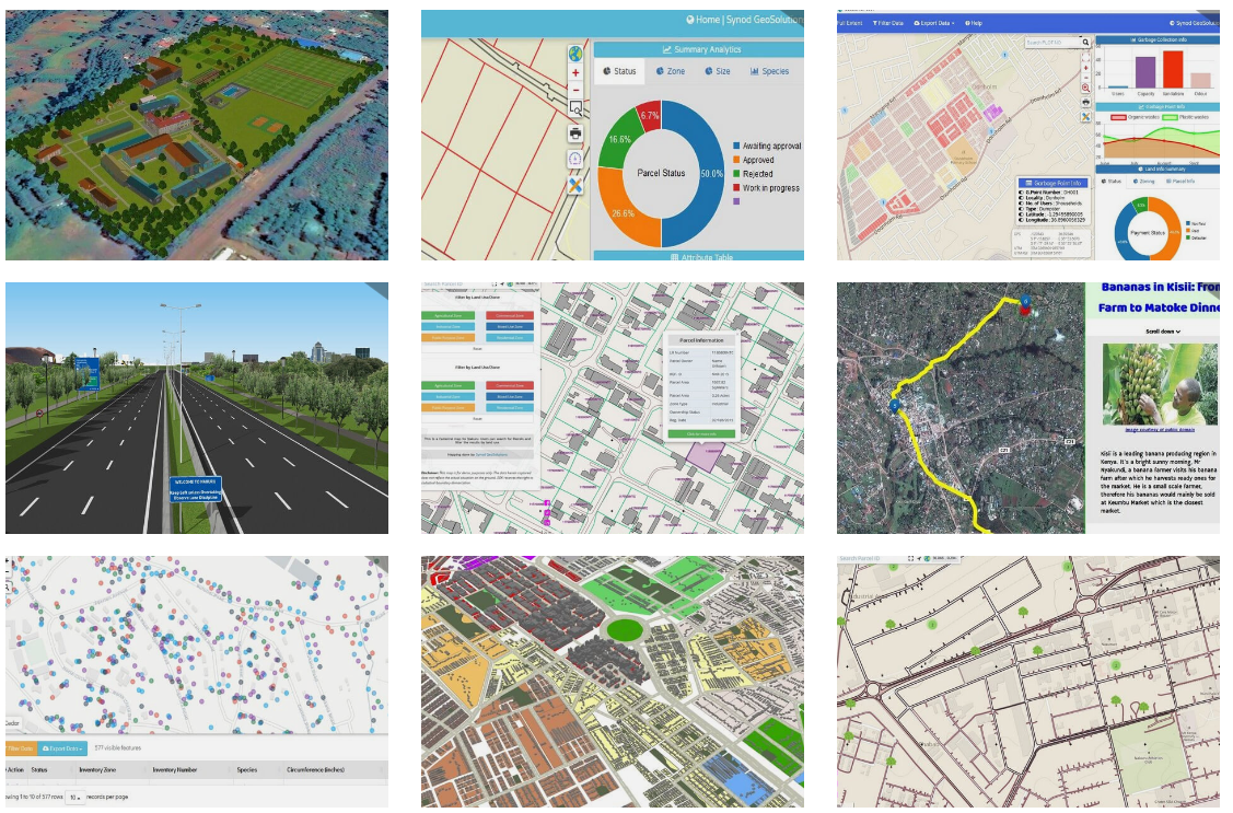

Portfolio for GIS and Data Analytics
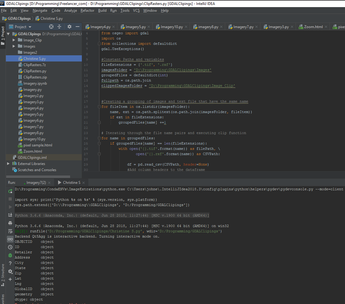

Python Code to Geo-reference images using python GDAL
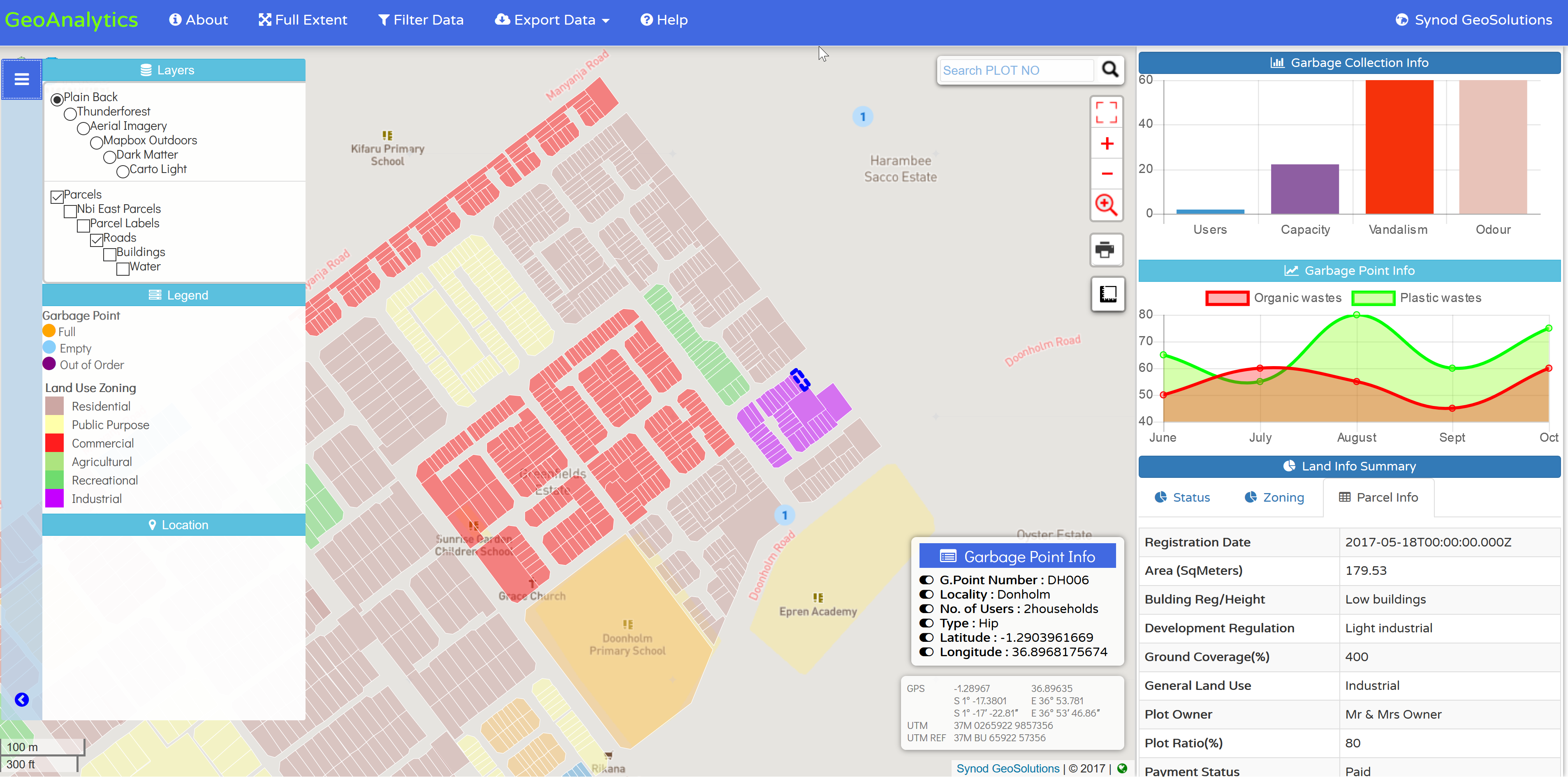

Web Mapping and Geo-Analytics
Portfolio for GIS and Data Analytics
Python Code to Geo-reference images using python GDAL
Web Mapping and Geo-Analytics
Comentarios
Cambios guardados
Mostrando 1 - 5 de 10 reseñas
$605,00 AUD
Cartography & Maps
Geographical Information System (GIS)

•
$100,00 USD
Civil Engineering
Remote Sensing
Geographical Information System (GIS)

•
$500,00 USD
Data Processing
Geographical Information System (GIS)
G
•
₹7.700,00 INR
Python
Software Architecture
Data Analytics
V

•
$175,00 USD
JavaScript
Python
HTML5
HTML
+1 más
B
•
Contacta John E. sobre tu trabajo
Inicia sesión para comentar cualquier detalle por chat.
Verificaciones
Principales habilidades
Explorar freelancers similares
Explorar galerías similares
¡Invitación enviada correctamente!
¡Gracias! Te hemos enviado un enlace para reclamar tu crédito gratuito.
Algo salió mal al enviar tu correo electrónico. Por favor, intenta de nuevo.
Falló el copiado al portapapeles. Intenta de nuevo después de ajustar tus permisos.
Copiado al portapapeles.
Cargando visualización previa
Permiso concedido para Geolocalización.
Tu sesión de acceso ha expirado y has sido desconectado. Por favor, inica sesión nuevamente.